The U.S. Department of Agriculture is preparing to change how it measures American agriculture after a series of data problems raised new concerns among farmers, traders and agricultural organizations. On September 1, 2026, USDA Secretary Brooke Rollins announced a pilot initiative that will combine satellite imagery, artificial intelligence and machine learning with existing agricultural data collection systems.
The announcement came during the Farm Progress Show in Boone, Iowa, as USDA officials faced growing pressure to improve the reliability and speed of crop acreage and yield estimates. The initiative will involve cooperation with NASA and other federal agencies while exploring new ways to collect information from producers, including online surveys and pre-filled data fields. Reuters reported that the effort follows criticism over unreliable crop estimates and concerns that staffing reductions have made traditional data collection more difficult.
The shift represents more than a technology upgrade. USDA crop estimates influence commodity prices, planting decisions, grain marketing, transportation planning, crop insurance and government policy. A change in how those numbers are produced could therefore affect decisions across the agricultural economy.
Why USDA Is Changing Its Crop Data System
For decades, the USDA’s National Agricultural Statistics Service has relied heavily on producer surveys, field observations, statistical sampling and administrative information to estimate acreage and yields. The system remains one of the most important sources of agricultural intelligence in the United States.
The USDA’s Agricultural Yield Survey, for example, collects farmer-reported information about expected yields during the growing season. NASS conducts the survey from May through November, with sample sizes reaching approximately 27,000 operations in August. Those responses are combined with other information and statistical methods to produce the monthly Crop Production reports. USDA Agricultural Yield Survey explains that producer-reported information remains a central component of the process.
That system has advantages because farmers can provide information that satellites cannot directly observe, including expected harvest conditions, yield expectations and changes occurring inside individual operations.
However, the system also faces practical limitations. USDA has been dealing with criticism over staffing losses and data errors, including a significant reporting problem involving beef export sales earlier in 2026. In July, USDA initially reported an approximately 500% increase in weekly beef export sales before revising the figure downward by roughly 90% the following week. Reuters reported in August that Senator Amy Klobuchar and other Senate Democrats questioned USDA about the error, staffing losses and the potential effect on the reliability of agricultural statistics.
The controversy created a difficult environment for USDA crop statistics because commodity markets respond immediately to changes in official supply expectations.
What Satellites Can Add To Agricultural Estimates
Satellite imagery gives USDA a different way to observe American farmland. Instead of relying exclusively on reports from sampled producers or field visits, analysts can evaluate crop conditions across large geographic areas using repeated images collected throughout the growing season.
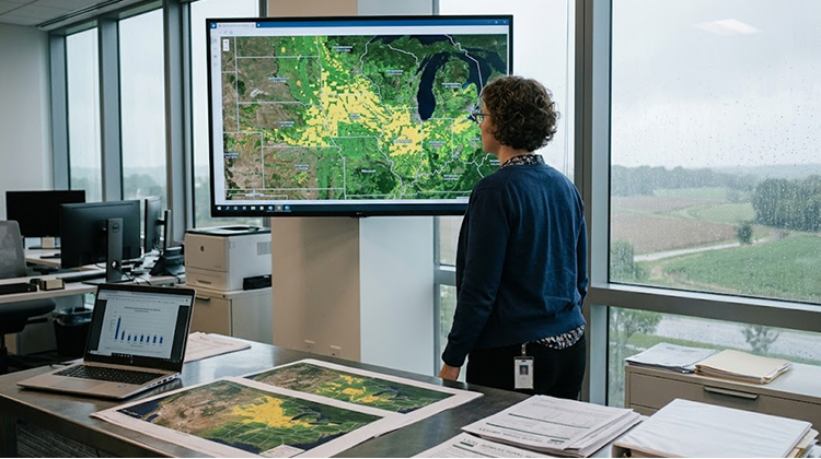
USDA-NASS already operates several systems based on remote sensing. Its Cropland Data Layer uses satellite imagery to produce crop-specific geographic information and supplemental acreage estimates. The agency also uses geospatial technologies for agricultural disaster analysis and has developed datasets involving field boundaries, crop acreage and crop rotations.
The technology is therefore not completely new to USDA. The September 1 announcement is significant because the department is now considering a broader integration of satellite information, artificial intelligence and machine learning into the crop-estimation process.
That distinction matters.
A satellite does not automatically tell an analyst how many bushels of corn will be harvested from a field. Instead, imagery can provide information about vegetation, field boundaries, crop classification, plant development and other observable characteristics. Statistical models can then combine those signals with weather, soil, historical production and producer information.
USDA research has already demonstrated the potential of this approach. NASS has used satellite-based information for acreage estimation for decades, while USDA agricultural research has found that satellite indicators related to vegetation, chlorophyll, biomass, crop water stress and moisture availability can be valuable variables in corn-yield prediction models.
The challenge is converting that technical capability into an operational system that can deliver reliable numbers on the tight schedule required by farmers and commodity markets.
AI Could Change How USDA Processes Crop Information
Artificial intelligence could become particularly valuable because the volume of agricultural data is increasing.
A modern crop-monitoring system can potentially combine satellite imagery, weather observations, soil conditions, historical yields, producer reports, field boundaries and other datasets. Machine-learning models can evaluate relationships between these variables much faster than traditional manual analysis.
That does not mean USDA intends to replace farmers with algorithms.
The more likely direction is a hybrid model in which producer information remains a major source while satellite and machine-learning systems provide additional evidence. USDA emphasized this principle in its August 12, 2026 Crop Production report, stating that producer-reported yield information remained the foundation of the August production forecast while the agency increased its use of Farm Service Agency acreage information. USDA’s August Crop Production update said the approach allows USDA to make greater use of information producers have already supplied while concentrating survey questions on information farmers are uniquely positioned to provide.
That approach could become increasingly important as agricultural operations generate more digital information.
Farm machinery already produces planting maps, application records, yield maps and field-level data. Weather stations generate continuous measurements. Satellites can observe crop development across entire regions. AI systems can potentially connect those different sources and identify patterns that would be difficult to detect through individual surveys.
The strategic objective is therefore broader than simply making USDA estimates faster. It is about building a data architecture capable of using more information without placing an equivalent reporting burden on producers.
2026 Crop Conditions Show Why Better Data Matters
The timing of the initiative is especially significant because the 2026 growing season has produced substantial variation across the United States.
USDA’s August crop data showed that 61% of U.S. corn acreage was rated good to excellent as of August 2, compared with 73% at the same point in 2025. Soybeans were rated 63% good to excellent, compared with 69% a year earlier.
At the same time, USDA’s August 12 forecast projected 2026 corn production at approximately 16.013 billion bushels, based on an estimated 88.592 million harvested acres and a national yield of 180.7 bushels per acre.
| Crop | 2026 Forecast | 2025 Actual |
|---|---|---|
| Corn harvested area | 88.592 million acres | 91.258 million acres |
| Corn yield | 180.7 bu./acre | 186.5 bu./acre |
| Corn production | 16.013 billion bu. | 17.021 billion bu. |
| Soybean harvested area | 85.781 million acres | — |
| Soybean yield | 52.7 bu./acre | — |
| Soybean production | 4.519 billion bu. | — |
Those numbers demonstrate why even relatively small changes in acreage or yield assumptions can have significant market consequences.
For farmers, an estimate of national production affects expectations about prices, storage, transportation and marketing. For grain companies, it influences procurement and logistics. For exporters, it affects supply projections. For lenders and insurers, production expectations can influence financial risk assessments.
This is where improved agricultural data could have its greatest economic value.
From Iowa Fields To National Markets
The USDA announcement in Iowa also highlights the geographic scale of the problem.
Corn and soybean production is distributed across thousands of farms and multiple agricultural regions with very different soil, weather and management conditions. A national estimate must therefore convert highly localized observations into a single statistical picture.
That task becomes more difficult during years characterized by uneven weather.
The 2026 growing season has included significant heat and dryness across parts of the Plains and Midwest. USDA’s summer weather assessments showed reduced soil moisture availability in several areas, while drought coverage across the Lower 48 remained elevated during July.
A satellite-based system can provide another layer of visibility into those regional differences. Instead of waiting for a survey response from a particular sampled operation, remote sensing can repeatedly observe large areas and identify changes in vegetation or field conditions.
USDA’s existing geospatial work demonstrates how far that capability has already developed. Its Crop Sequence Boundaries datasets use satellite imagery and other public information to estimate field boundaries, crop acreage and crop rotations across the United States. USDA’s geospatial agricultural research also includes crop-condition analytics and disaster-monitoring applications based on remotely sensed information.
The next step is connecting those capabilities more directly with official production estimates.
The Producer Still Matters
The biggest misconception surrounding agricultural AI would be to assume that satellite technology makes farmer reporting unnecessary.
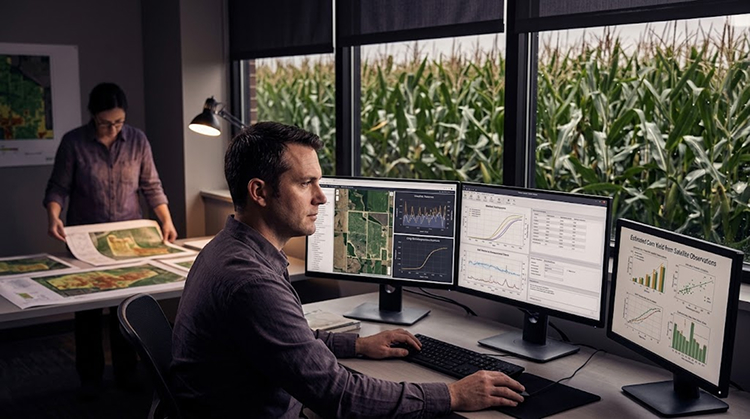
In reality, the September initiative could make producer information more valuable by allowing USDA to ask farmers for fewer pieces of information while using technology to fill in other parts of the statistical picture.
That direction is already visible in USDA’s 2026 methodology.
In August, NASS increased its use of acreage information reported through the Farm Service Agency. Rather than asking producers to repeatedly provide information that the federal government already possesses, USDA said it could use existing administrative data and focus its Agricultural Yield Survey on yield expectations and current growing conditions.
This model has an important practical advantage.
A farmer operating several thousand acres does not necessarily need another lengthy questionnaire if USDA can obtain reliable acreage information from existing records and satellite observations. The farmer’s time can instead be directed toward information that cannot easily be captured remotely.
This same principle is increasingly visible across modern agriculture, where digital tools are being used to combine field observations with automated measurements. The trend also connects with broader developments in modern agricultural design as farms incorporate more sensors, geospatial information and data-driven management systems.
Accuracy Will Matter More Than Technology
The central test for USDA will not be whether it can deploy artificial intelligence. It will be whether the new system produces statistics that farmers and markets trust.
That distinction is critical.
A sophisticated algorithm can still generate inaccurate estimates if the underlying data are incomplete, biased or poorly calibrated. Satellite imagery can be affected by cloud cover, resolution limitations and crop similarities. Machine-learning systems can also produce misleading results if models are trained on historical patterns that do not adequately represent unusual growing seasons.
USDA’s existing methodology illustrates why multiple data sources are valuable. Its Objective Yield Survey uses field visits, crop measurements and harvest information for selected crops, while the Agricultural Yield Survey collects producer expectations. Satellite systems provide another source of evidence rather than a universal replacement for those approaches.
The new pilot will therefore have to demonstrate that technology improves the statistical process rather than simply making it more complicated.
A Potential New Era For U.S. Crop Reporting
The USDA’s September 1 announcement places agricultural statistics at an important transition point.
The agency is moving from a system dominated by surveys, field observations and established statistical models toward a broader framework that can incorporate satellite imagery, machine learning, artificial intelligence and administrative data.
That transition could eventually change how quickly crop conditions are measured and how frequently estimates can be updated.
It could also make agricultural statistics more geographically detailed. Better integration of remote sensing may allow analysts to identify regional differences that are difficult to capture through a relatively limited sample of individual farms.
For farmers, the potential benefit is straightforward: better information can support better decisions about planting, marketing, storage, insurance and risk management.
For commodity markets, the stakes are even larger. USDA crop estimates are treated as critical reference points for determining expectations about U.S. supplies. If confidence in those numbers improves, markets could receive a more stable statistical foundation for pricing agricultural commodities.
The September 2026 initiative therefore represents a significant development in precision farming and agricultural data science. USDA is not abandoning the farmer-based statistical system that has supported U.S. crop reporting for generations. Instead, it is testing whether satellites and AI can strengthen that system at a time when agricultural markets demand faster, broader and more reliable information.
The success of the project will ultimately depend on one measure: whether farmers, traders and policymakers believe the numbers more than they did before.