Satellite crop data moved closer to the center of federal crop reporting after USDA Secretary Brooke L. Rollins announced the “USDA Data Modernization Plan to Put Farmers First” on September 1, 2026, at the Farm Progress Show in Boone, Iowa. The plan was presented as a response to concerns about the timeliness, accuracy, and usefulness of agricultural data, including acreage and yield reports that farmers, grain buyers, lenders, and commodity markets rely on during the production year.
The strategy matters because USDA crop reports influence market expectations long before combines finish harvest. When the numbers shift sharply, the effects can reach cash bids, storage decisions, hedging plans, and policy debates. The 2026 announcement did not replace producer surveys or field reporting. Instead, USDA described a plan to test improved satellite imagery, geospatial tools, crop modeling, and producer-reported information together. That cautious framing is useful: remote sensing can improve consistency and coverage, but it does not remove the need for ground-level verification.
Why Satellite Crop Data Entered USDA Reform
September 2026 Announcement
The modernization plan announced on September 1, 2026, included four broad pillars: modernizing the data reporting experience, improving acreage and yield estimation, integrating data and technology platforms including AI and machine learning, and expanding trust and transparency with producers. For crop science and market analysis, the second pillar is the most direct link to acreage and yield reports.
USDA said it would conduct a pilot project to assess improved satellite imagery, geospatial tools, and crop modeling in combination with producer-reported information. The plan also called for reducing survey burden by expanding administrative data use, improving mobile survey access, and exploring pre-filled reporting forms so producers are not repeatedly asked for information the agency already has.
The timing followed a period of greater public concern about estimate revisions. Research materials provided for this analysis noted that USDA’s July 2025 projection placed harvested corn acreage at 86.8 million acres, while the January 2026 final estimate revised that figure to 91.3 million acres. A 4.5 million-acre difference is large enough to affect how markets interpret supply, even if later revisions are part of normal statistical updating. The same materials also reported that staffing at the National Agricultural Statistics Service fell by 34% in 2025, from roughly 800 employees to about 500. That staffing context helps explain why trust and workload have become part of the same discussion.
What Satellite Crop Data Can And Cannot Fix
Satellite crop data can strengthen crop reporting by giving analysts repeatable observations across large growing regions. Imagery can help identify planted area, crop type, vegetative development, and changes through the season. In a country with millions of fields and diverse planting dates, that scale is valuable.
Still, imagery does not automatically answer every market question. Clouds, mixed pixels, double-cropping, delayed planting, crop damage, irrigation differences, and local management practices can complicate interpretation. Yield is harder than crop identification because final production depends on weather timing, stand condition, disease pressure, harvest losses, and grain moisture. This is why USDA’s plan to combine remote sensing with producer-reported information is more credible than a fully automated approach.
A related Agheiro analysis of USDA satellite and AI testing raised the same practical issue: new data tools are most useful when they are validated against field conditions rather than treated as substitutes for them.
How The Cropland Data Layer Supports Estimates
Resolution And Sensor Changes
The Cropland Data Layer, commonly called CDL, is one of the clearest examples of USDA’s existing remote-sensing capacity. USDA’s 2024 CDL was released for the 2024 growing season at 10-meter spatial resolution and used harmonized Sentinel-2, Landsat-8, and Landsat-9 inputs across multiple spectral bands, according to the 2024 CDL metadata.
That 10-meter resolution is meaningful for crop mapping because it can describe field patterns with more detail than older, coarser imagery. It does not make classification perfect, but it improves the raw material available to analysts. The research notes also stated that the 2025 CDL was released on February 27, 2026, maintaining 10-meter resolution and using cloud-masked multi-sensor satellite data, ten-day median composites of reflectance and NDVI, and ancillary data such as elevation and canopy layers. USDA’s CDL FAQ provides agency context for the Cropland Data Layer program.
From a crop science standpoint, the shift toward multi-sensor data is practical. No single satellite pass can capture every field clearly throughout the growing season. Multiple sensors and compositing methods can reduce gaps from cloud cover and improve the consistency of seasonal observations. NDVI and reflectance measures can also help track vegetation development, though they must be interpreted carefully because strong canopy growth does not always translate into final yield.
The research notes also reported that Hawaiian Islands CDL products for 2023 and 2024 were reprocessed and released on June 12, 2026, alongside the 2025 Hawaii CDL. That point is narrow, but it shows that CDL work is not limited to the Corn Belt. Regional geography, crop mix, and image quality all shape classification challenges.
Producer Reporting Still Anchors The System
Why Trust Depends On Producer Burden
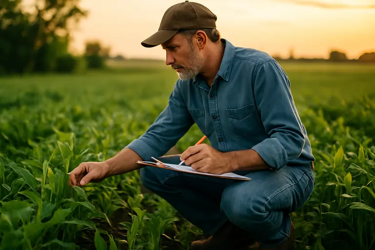
USDA’s plan placed producer trust and transparency alongside technical upgrades. That pairing is not cosmetic. Farmers provide much of the information that gives crop reports practical value. If producers view reporting as repetitive, opaque, or disconnected from field realities, response quality and participation can suffer.
The planned use of administrative data, mobile access, and pre-filled forms could reduce some friction. A producer who has already submitted acreage or program information to one USDA system may reasonably question why similar details need to be re-entered elsewhere. Better integration could save time, especially during planting, spraying, and harvest periods when survey requests compete with fieldwork.
There is a tradeoff. Administrative records are not always designed for the same purpose as statistical estimates. A form collected for program eligibility may not perfectly match the timing or definitions needed for a crop production report. This is where transparency becomes necessary. Producers and market users need to know which data sources are being used, how conflicts are handled, and where uncertainty remains.
For those interested in agricultural information and related data accuracy across networks, Interline Publishing offers insights into presenting sourced material clearly.
Limits For Market Users
Commodity markets often treat USDA reports as benchmark information, but benchmarks still carry uncertainty. A modernized system may narrow some errors while leaving others unresolved until harvest data arrives. That distinction matters for grain merchandisers, ethanol plants, livestock feeders, exporters, and farmers making pricing decisions.
Satellite crop data is best viewed as an added evidence stream. It can help identify inconsistencies earlier, support acreage classification, and show crop development patterns across regions. It cannot fully replace producer surveys, objective yield measurements, or final harvest records. A better crop reporting system should combine these inputs in a way that makes revisions more explainable, not merely faster.
USDA’s pilot was described as running through the current administration’s term, with expectations of visible results before that term ends. As of September 28, 2026, the pilot should be evaluated by what it demonstrates, not by what advocates hope it might deliver. The useful questions are specific: Did remote-sensing methods improve acreage classification? Did yield models reduce later revisions? Did producers spend less time reporting duplicate information? Did USDA explain methods clearly enough for farmers and markets to understand the remaining uncertainty?
Satellite Crop Data And USDA Report Accuracy
Satellite crop data should improve parts of USDA crop reporting, especially acreage mapping and seasonal crop monitoring. The strongest case is not that satellites will replace existing methods. The stronger case is that remote sensing, geospatial tools, crop modeling, administrative records, and producer reports can check one another.
That approach fits the cautious direction of the September 2026 modernization plan. It recognizes that agricultural production is too varied for any single data source to capture completely. It also responds to a real credibility problem created by large estimate revisions and reduced agency staffing. Better imagery can help, but trust will depend on validation, transparency, and clear communication with producers.
For farmers, the most practical outcome would be a reporting system that asks fewer duplicate questions, explains estimate changes more clearly, and produces acreage and yield figures that better match field conditions. For markets, the value would be reports that still change when evidence changes, but with less surprise and better documentation. For USDA, the challenge is to prove that modernization improves statistical quality without overstating what remote sensing can do.