Welcome to the agricultural aviation showroom. Here, picking your drone is like choosing a team for a mission. Each ag drone has its own special power. It’s about finding the right tool for your farm.
Fixed-wing drones are like the long-haul truckers of the sky. They cover up to 1000 hectares daily. On the other hand, multirotor drones work like precision surgeons. They hover with great accuracy for specific tasks.
The market is changing fast with new drone types. Hybrid and foldable-wing drones offer both portability and performance. With the sector expected to reach $4.8 billion by 2024, knowing about these agricultural drone categories is crucial for smart farming.
Mapping, Scouting, & Spraying
Forget spy satellites – today’s top spy work is happening right above our cornfields. Agricultural drones have grown from simple cameras to full-spectrum surveillance systems. They’re so advanced, even Jason Bourne might think twice about his job.
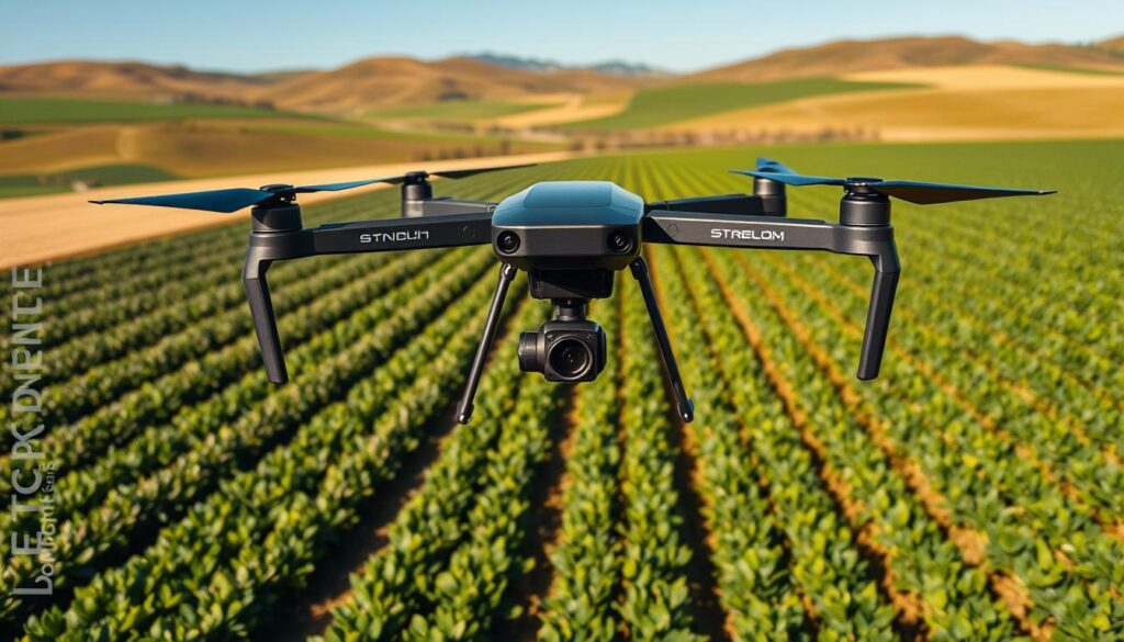
The Eyes in the Sky
Modern farming drones use NDVI technology for what I call “plant psychotherapy sessions.” They analyze light reflection to create detailed health maps. These maps show which plants are doing well and which are struggling.
Their resolution is so high, you can see individual leaves sweating in the summer sun. High-resolution cameras give bird’s-eye views that reveal patterns invisible from the ground. Weed infestations, nutrient deficiencies, and soil variations are as clear as bad haircuts at a royal wedding.
Precision That Would Make a Surgeon Jealous
GPS systems offer mapping accuracy down to millimeter precision. We’re talking about creating digital twins of your fields so detailed they could predict the corn’s next move.
The drones can fly around your fields without human help. They’re like robotic shepherds watching over your crops 24/7. They spot problems before they become big issues.
Targeted Treatment Revolution
Spraying drones are a big leap forward. They deliver precise applications to specific areas, unlike the old “spray and pray” method.
South Korea already uses drones for 30% of their spraying. They know precision is better than brute force. Why spray the whole field when you can target only the areas that need it?
The future of farming is about working smarter, not harder. It’s about using technology to make data-driven decisions. If your crops aren’t being watched by drones, they might feel a bit left out.
Licensing & Regulations
The rules for farm drones are like a patchwork quilt. Committees with different views make the rules. You might think you know the rules in one place, but they change in the next.
The Paperwork Jungle
Before you can fly your drone, you face a lot of paperwork. The FAA needs you to have Part 107 certification. This is like a pilot’s license for drones.
There are many rules about where and when you can fly. You can’t fly near airports, and there are height limits. It’s like having a sports car but only driving it in your driveway.
Privacy laws add more complexity. Your neighbor might not like it if your crop health technology captures their lawn ornaments. It’s like farming and negotiating surveillance at the same time.
BVLOS (Beyond Visual Line of Sight) operations are tricky. We trust drones to monitor crops but doubt they can fly far. It’s like having self-driving cars but needing someone to hold a leash.
Spray drone rules are also tricky. South Korea welcomes drones, but Canada is more cautious. The rules about spray drift vary a lot.
| Country | Spray Drone Policy | Certification Requirements | BVLOS Status |
|---|---|---|---|
| United States | Case-by-case waivers | Part 107 + additional training | Experimental only |
| Canada | Complete prohibition | Not applicable | Not permitted |
| South Korea | Widely adopted | Government training program | Permitted with approval |
| Australia | Regional variations | Commercial license required | Limited permissions |
| Brazil | Increasing adoption | Agricultural certification | Under review |
Regulations move slowly, but technology fast. The gap between what’s possible and allowed is huge. It’s like a whole fleet of drones could fit in this gap.
But, there’s a chance to win in this maze. Those who understand the rules can get ahead. It’s not just about following rules; it’s about strategy. Farmers who get this will use crop health technology better than others.
Integration with Farm Management
Imagine trying to teach your tractor to text – that’s what happens with ag drones and old farm systems. They promise to send data to computers like Wall Street pros. But, it’s like watching your grandpa on TikTok.
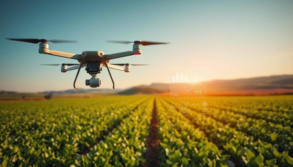
The Data Deluge Dilemma
Modern ag drones gather more data in one flight than farmers used to in a whole season. When this data meets farm management software, magic happens. Precision agriculture becomes real.
Studies show this can increase yields by up to 5%. That’s the difference between champagne and cheap beer. Water savings are also huge, cutting usage by 20%.
The Crop Diversity Conundrum
Things get tricky with diverse crops. Current systems work great with known crops but struggle with diverse ones. Your drone might say, “Looks like plants, probably fine.”
AI integration is a big challenge. We collect lots of data but struggle to make it useful. It’s not just about pretty charts. It’s about understanding different plants.
Getting systems to work together is like teaching an old dog new tricks. The dog is your whole farm, and the tricks are complex data processing.
Real Farmer Case Studies
Let’s get real about farmers using this tech. The California study showed a 25% water efficiency gain. This is huge for areas that always struggle with drought.
Farmers have cut pesticide use by 30%. This isn’t just saving them money. It’s also making environmentalists very happy. The coolest part? Drone seeding can plant 400,000 trees every day. This blows traditional reforestation out of the water.
Advanced aerial mapping does more than just take pictures. Australian researchers can see through plants to the soil using microwave sensing. It’s like having super vision. The Dutch and Japanese are even working on drones that help pollinators, creating a new way to spread pollen.
These stories show how drones change farming from a guess to a science. When used right, the results are amazing. They show that traditional farming methods are outdated.