Designing a farm layout once relied on hand-drawn maps and generational intuition. Today, modern agricultural design treats the farm as a highly calibrated industrial space. Farm managers use advanced spatial data to map fields, locate infrastructure, and route autonomous machinery. Proper design directly impacts operational efficiency. Placing a grain bin in the wrong location adds thousands of unnecessary tractor miles over a decade.
Using 3D Field Modeling
Flat maps hide the variables that dictate crop performance. Topography, drainage patterns, and soil variance shift constantly across a single field. Implementing 3D field models turns these hidden factors into actionable intelligence. Surveyors use drones and satellite imagery to build high-resolution maps that measure elevation down to the inch.
This three-dimensional view creates the foundation for variable-rate planting. When equipment hits a well-drained hilltop, the prescription map automatically increases the seeding rate. When it approaches a low-lying zone prone to spring flooding, the planter drops fewer seeds to avoid rot. Allocating expensive inputs based on actual terrain limits waste. Operators checking where to get local crop science information often start by analyzing their own topographical data against regional yield expectations.
Smart Farm Layout Applications
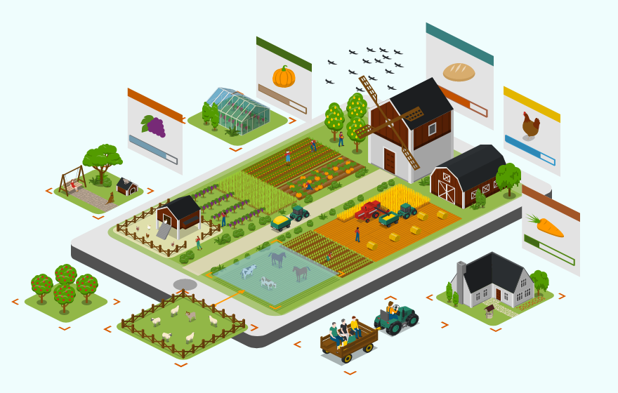
Agribusinesses now run entire operations through digital layout applications. These software platforms combine GPS mapping with real-time field telemetry. Farm managers map land boundaries, overlay soil types, and plot out physical infrastructure like irrigation lines and equipment sheds before moving a single piece of dirt.
Connecting these layouts to a Real-Time Kinematic (RTK) network gives tractors centimeter-level accuracy in the field. The layout app communicates directly with the machinery. This prevents overlap during spraying and keeps heavy equipment on dedicated paths, protecting the soil from deep compaction. Planning these traffic lanes reduces the physical stress on both the land and the machinery.
Optimizing Water and Resource Flow
Water management dictates the survival of the crop and the longevity of the soil. Advanced design models simulate heavy rainfall events across the digital field. The software shows exactly where water will pond and where it will strip away topsoil through erosion.
Farmers use this data to install targeted drainage tiles or reshape the terrain before planting. For irrigated land, the design process allows center pivots to deliver consistent pressure across uneven ground. Operators reading the latest farm equipment review know that precision irrigation systems require highly accurate field maps to function correctly. Without proper mapping, systems apply too much water to low spots and leave hillsides dry.
| Design Approach | Mapping Technology | Resource Management |
| Traditional | 2D hand-drawn boundaries | Uniform application |
| Modern | 3D topographical modeling | Variable-rate application |
| Traditional | Visual field scouting | Reactive drainage fixes |
| Modern | Drone and satellite telemetry | Predictive erosion control |
Designing for Autonomous Equipment
The physical layout of the farm must adapt to new machinery. Autonomous tractors and robotic harvesters require strictly defined boundaries and clear operational paths. Designing a field for robotics means removing unnecessary obstacles, squaring off awkward corners, and establishing clear turn-around zones at the end of each row.
Safety protocols depend entirely on accurate spatial design. A self-driving sprayer relies on the programmed farm map to avoid ditches, power poles, and property lines. Groups studying agricultural technology integration emphasize that the success of autonomous farming depends directly on the accuracy of the initial field design. A poorly mapped field leads to machine errors and damaged crops. Precision agriculture demands a precise physical environment.